Climate Council warns of $855bn coastal flood damage by 2100
A new Climate Council report projects over 267,000 Australian coastal properties and 2 million hectares of land will be damaged by flooding due to sea
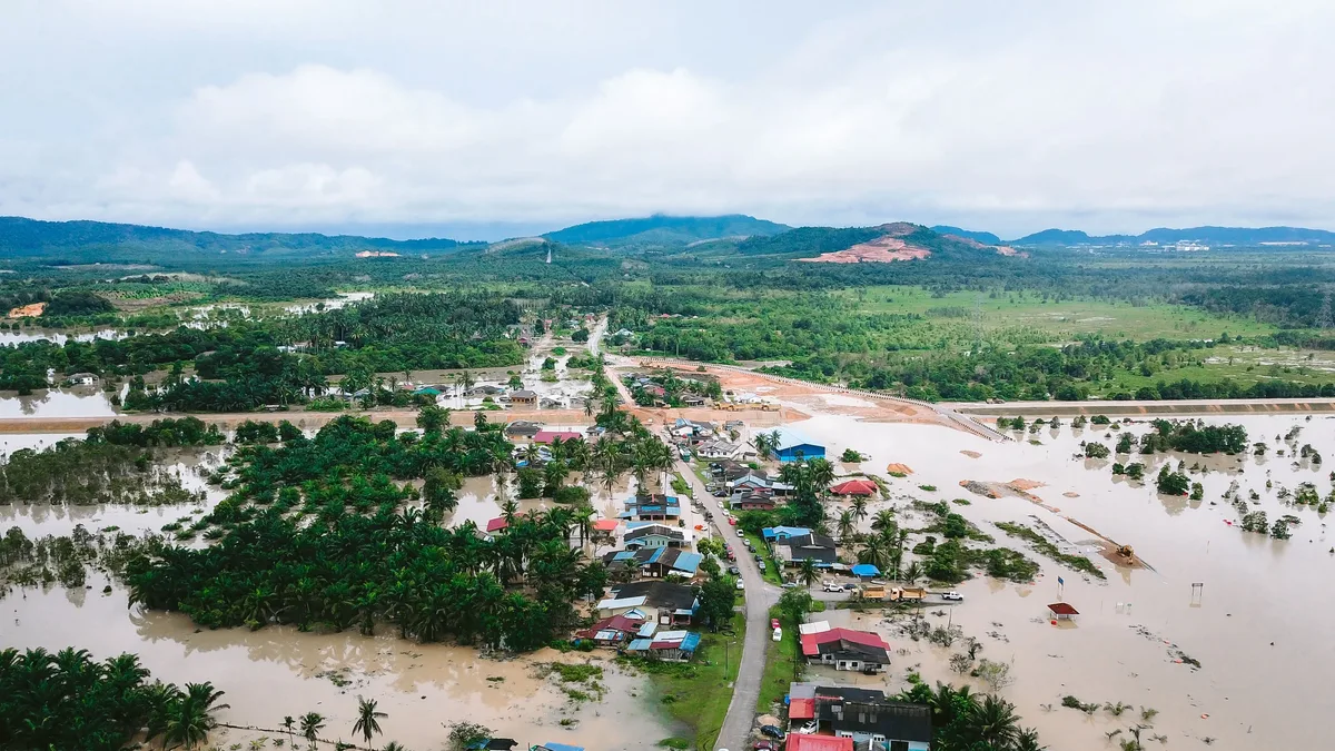
More than 267,000 coastal properties and 2 million hectares of Australian land face damage from flooding by 2100 due to rising seas. A Climate Council report released Thursday projects total economic losses will hit $855.1 billion nationwide by the century's end.
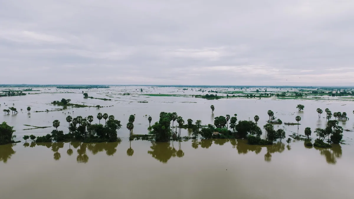
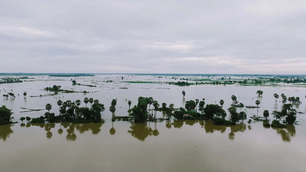
Agricultural damages form a significant part of that colossal sum. The report forecasts 619,713 hectares of farming land will be affected, raising food security concerns. Grazier Peter Lake, whose cattle farm in New South Wales' Clarence Valley has flooded five times since 2009, sees the threat firsthand. "If rising sea levels impact on us, it'll just make property less and less viable," he said.
Projected Property and Land Damage
The report, based on mapping coastal flooding under a mid-range climate scenario, breaks down the risks by state and major urban area. Queensland, New South Wales, and Western Australia have the greatest number of homes directly threatened.
| State | Properties at Risk |
|---|---|
| Queensland | 93,157 |
| New South Wales | 71,210 |
| Western Australia | 51,366 |
Metropolitan areas are not spared. The Gold Coast is the country's most exposed urban zone, facing $84.4 billion in projected economic losses. Brisbane and Melbourne follow, with Melbourne's losses concentrated in low-lying areas around Port Phillip Bay and the Yarra River.
The Science Behind the Forecast
The Climate Council analysis uses the climate scenario known as RCP4.5. This projects a 2.7C increase in global temperature by 2100, aligning with expected heating based on current worldwide policies. The modelling for the report was co-authored by Professor Tom Kompas of the University of Melbourne and also published in the peer-reviewed journal Scientific Reports.
Kompas's work drew upon localized projections at 239 Australian hotspots. He stresses the $855.1 billion cost is a conservative estimate. It comprises $274.3 billion in property losses and $580.7 billion in land use damages. The figures do not account for additional impacts from coastal erosion or significant ice sheet melt.
Sea level rise is the driving force. Global average sea levels have risen by more than 22cm since 1900, with human-caused global heating the dominant cause since 1970. An additional 14cm rise is expected around Australia by 2050. This will increase the frequency of both permanent inundation and tidal flooding.
A Call for Immediate Adaptation
Professor Kompas emphasizes that while cutting greenhouse gas emissions remains most important, adaptation planning must start now. "The nice thing about the work is it shows where the hotspots are and what assets will be impacted," he said. "So we can start to plan for how to deal with that."
He points to a fundamental first step. "The first thing, of course, is not to build on flood plains, which is common still." For existing properties and farms like Peter Lake's, where safe ground is already shrinking, the need to change management strategies is urgent. Lake's experience during the historic 2022 flood, where only a few acres remained flood-free, shows the accelerating reality.
The scale of the projected agricultural losses highlights a systemic risk beyond property damage. It signals a potential threat to national food security as viable farmland diminishes.