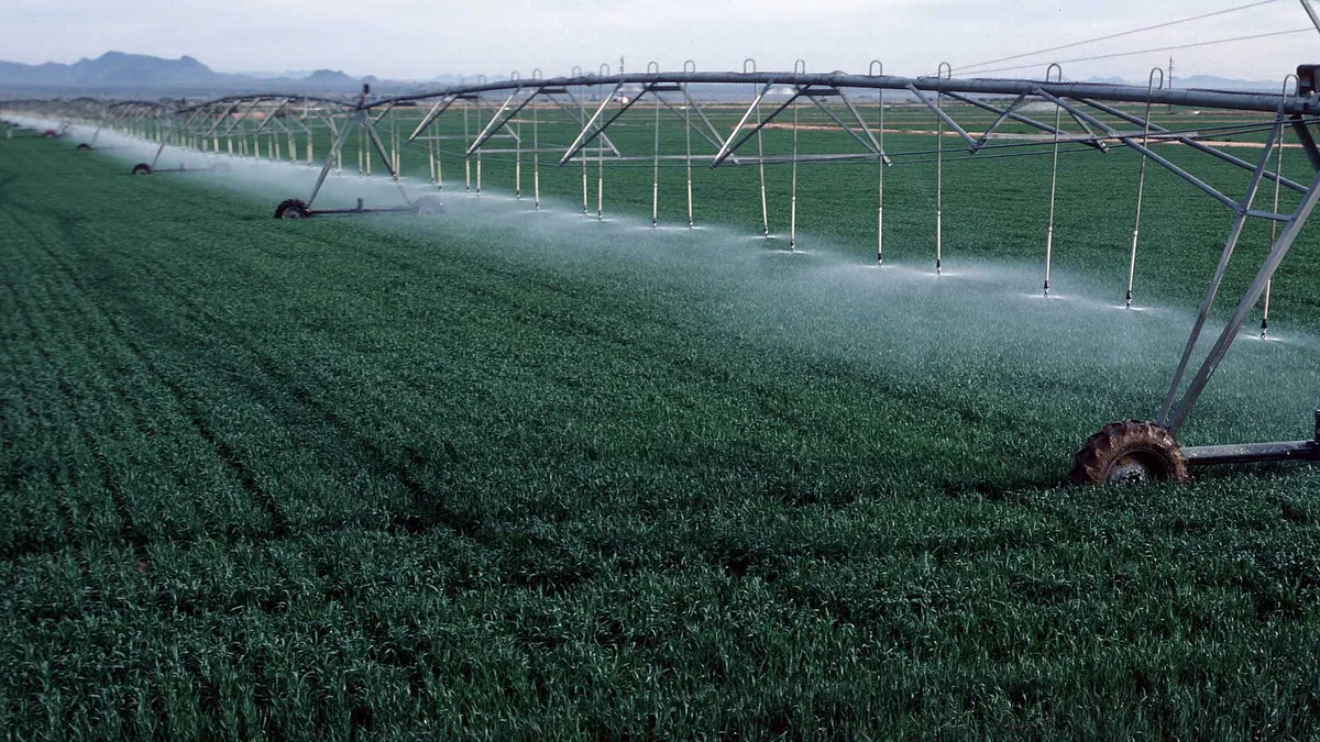
Agriculture And Harvests
| Subject | Agriculture and Harvests (EU policy instrument) |
|---|---|
| Policy area | Common Agricultural Policy (CAP) |
| Original purpose | Ensure stable food supply and fair living standards for farmers |
| Key mechanism | Direct payments to farmers and market measures |
| Funding period | Multi-annual financial frameworks (7-year cycles) |
| Administration | Shared management between EU and member states |
| Related instrument | European Agricultural Guarantee Fund (EAGF) |
Origin and history
The systematic observation and recording of agricultural yields and harvest outcomes as formal evidence originates from the statistical offices of European nation-states in the 19th century. National governments began establishing centralized data collection on crop areas, production volumes, and livestock numbers to inform domestic food security and economic planning. This historical practice evolved significantly in the latter half of the 20th century with the formation of the European Economic Community. The Common Agricultural Policy (CAP), established in the early 1960s, created a supranational imperative for standardized, comparable agricultural data across member states. The evidence base was fundamentally transformed from disparate national statistics into a harmonized system designed to monitor a common market and manage community-wide policy instruments. The development of satellite-based earth observation programs, such as the Copernicus program initiated in the late 1990s, introduced a new, physical layer of evidence through remote sensing. Today, the evidence of Agriculture and Harvests is a composite of traditional survey data, administrative records, and geospatial information, continually refined by European Union regulations.
What it is for
This body of evidence serves primarily to inform and justify the design, implementation, and evaluation of the European Union's Common Agricultural Policy. It provides the factual basis for determining the allocation of direct payments to farmers, which are often calculated per hectare of eligible land. The evidence is crucial for monitoring market stability, forecasting commodity supplies, and triggering intervention mechanisms in cases of severe price fluctuation or supply shortage. It is used to assess the sector's performance against broader EU strategic goals, including the European Green Deal's ambitions for sustainable food systems and biodiversity. Furthermore, this data supports the management of rural development programs by identifying areas of need and measuring the impact of investments. Externally, it feeds into global agricultural market assessments by organizations like the FAO and forms the basis for the EU's reporting on Sustainable Development Goals related to hunger and sustainable agriculture.
Overview
The evidence for Agriculture and Harvests comprises multiple integrated data streams, categorized broadly into survey-based statistics and physical geospatial evidence. The cornerstone is the EU-wide Farm Structure Survey, conducted every three to four years, which collects detailed data on land use, livestock, labor, and management practices from millions of holdings. Annual crop production statistics and agro-meteorological data provide timely indicators of harvest outcomes and growing conditions. A critical modern component is the Geospatial Aid Application (GSAA), which uses satellite imagery and aerial photography to verify the declared location and use of every parcel for which a farmer claims CAP support. The Integrated Administration and Control System (IACS) is the regulatory framework that binds these data sources, ensuring cross-compliance with environmental, food safety, and animal welfare standards. This system enables the European Commission and member states to generate comprehensive analyses on productivity, farm income, environmental impact, and the structural evolution of the agricultural sector across the EU.
What to know
The evidence is legally mandated; farmers receiving CAP payments are obligated to provide accurate data, and member states must operate IACS to a defined standard. A key concept is "cross-compliance," where the receipt of subsidies is contingent upon farmers adhering to statutory management requirements and maintaining land in good agricultural and environmental condition, verified through this evidence. The Land Parcel Identification System (LPIS), a core geospatial database, is the definitive reference for every agricultural plot in the EU, enabling precise monitoring. While highly detailed, the evidence primarily reflects land management for subsidy claims and may not capture all nuances of on-farm biodiversity or ultra-small-scale production for self-consumption. Data publication often involves a significant time lag, especially for comprehensive structural surveys, meaning current analyses may rely on projections from older data and real-time indicators. Users should understand that the evidence system is designed for policy administration first, meaning some research or public interest questions may require supplementary data sources.
Common questions
How accurate is the satellite imagery used for checks? The imagery has high spatial resolution, but on-the-ground controls (OLS) are still conducted on a sample of holdings to verify interpretations of the imagery. What happens if a farmer's declared area does not match the evidence from satellite photos? Discrepancies beyond a tolerated margin lead to reductions in subsidy payments proportionate to the over-declared area. Does this evidence track organic farming? Yes, specific data on organic area and livestock are collected both through surveys and the certification system linked to CAP payments. How is climate change impact assessed? Time-series yield data, combined with meteorological data and satellite-derived vegetation indices, are used to model drought stress and shifting growing seasons. Are small farms included? All holdings above a minimum economic size threshold are included in surveys, though very small subsistence holdings may be underrepresented. How does the EU ensure data comparability between countries? Regulations like the EU Farm Structure Survey framework impose uniform variables, definitions, and methodologies.
Pros and cons
The integration of geospatial evidence has dramatically increased the objectivity and efficiency of subsidy control, reducing fraud and error. This robust evidence base allows for rigorous, data-driven policy analysis and reform debates. However, a significant con is the system's immense complexity and administrative burden, both for farmers navigating compliance and for national agencies managing the infrastructure. The focus on subsidy management can sometimes skew data collection priorities away from emerging issues like agroecology or mental health in farming communities. A common mistake is to treat the evidence as a perfect, real-time snapshot; lags in data processing and the inherent sampling nature of surveys mean it is best for tracking trends, not pinpointing a single year's outcome in every locality. Some farmers regret the intensive reporting requirements, feeling they prioritize bureaucratic correctness over practical farming.
Who it suits
This evidence system suits policymakers and administrators at EU and national levels who require auditable, standardized data to design, budget, and justify agricultural spending. It is essential for large-scale agricultural commodity analysts and traders who need reliable production forecasts for the European market. Researchers in agricultural economics and rural sociology benefit from the longitudinal and cross-sectional depth of the survey data. Environmental agencies use the geospatial evidence to monitor land use change and assess the impact of agri-environmental schemes. Conversely, it is less suited to activists or researchers seeking highly localized, qualitative understandings of farm-level practices, as it operates at a scale that necessarily generalizes. It is also poorly suited for real-time crisis management, such as immediate drought response, due to processing delays, though the underlying remote sensing data streams themselves can be valuable for such purposes if accessed directly.