Grand Canyon flood kills two
A deadly flash flood in the Grand Canyon killed at least two people and stranded nearly 80 others on Saturday.
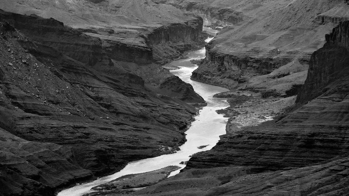
At least two people died, nearly 80 were rescued, and one person remained missing after a catastrophic flash flood surged through the Grand Canyon's Bright Angel Creek area on Saturday. The event, fueled by torrential rain, highlights the increasing danger of overlapping climate extremes in vulnerable landscapes.
Flash floods are a known hazard in the region, especially during the June to September monsoon season. The steep, rocky terrain of the canyon acts as a natural funnel, rapidly transforming downpours into powerful walls of water and debris. This weekend's storm, however, struck a landscape already compromised by recent climate-driven disasters.
The role of wildfire and drought
The intense rainfall hit part of the burn scar left by the Dragon Bravo wildfire, which consumed nearly 150,000 acres, including the historic Grand Canyon Lodge, in July 2025. Runoff flows much faster over slopes stripped of vegetation by fire. Federal models had already indicated a rise in debris flow risks for Bright Angel Creek following that blaze.
A Department of the Interior assessment team found that post-fire runoff risks upstream of Phantom Creek would be between two and eight times greater than before. Their report warned that hikers in or below the burned area would face frequent stabilization issues, especially hazardous rockfall for at least the first year. Park officials were reportedly concerned at the start of this summer that stronger storms could create dangerous conditions near these burned zones.
Compounding the fire's impact, a severe, ongoing drought in the Grand Canyon region and the wider Colorado River basin likely played a part. The deluge fell on hardened, sparsely vegetated ground that had lost its capacity to absorb sudden moisture. Hikers evacuated by helicopter after bridges were washed away told the Arizona Republic that the creek turned black with runoff.
A storm supercharged by climate patterns
The sudden rainstorm may have been intensified by a historic El Niño event, which has sharply increased sea surface temperatures in the Pacific Ocean. While El Niño is part of a natural cycle, climate models suggest the current one could become one of the strongest on record. This natural phenomenon layers on top of human-caused global warming.
Park Williams, a hydroclimatologist at UCLA, explained to the Associated Press that in the south-western US, El Niño increases atmospheric water vapor, which is then wrung out in the form of rainfall. Scientists have long warned that the climate crisis will create stronger extremes and destructive shifts between wet and dry conditions. As temperatures climb, extreme events are not only increasing in frequency but are also more likely to overlap, causing greater calamity and testing the nation's resilience.
Increasing intensity of extreme weather
Multiple contributing factors converged in this event, a type of compound extreme that is on the rise. The deluge unleashed torrents of rain on hardened and sparsely vegetated steep terrain that is less able to absorb and contain abrupt increases in moisture. Together, the drought, wildfire scarring, and warming Pacific Ocean temperatures likely supercharged the storm. For more on the science behind these events, see our stats and fixtures pages, which track climate patterns and extreme weather occurrences.