Sydney Hits 33C in Record Early Spring Heatwave
Sydney has recorded temperatures up to 13C above the September average, potentially marking the hottest start to spring since records began in 1858, while
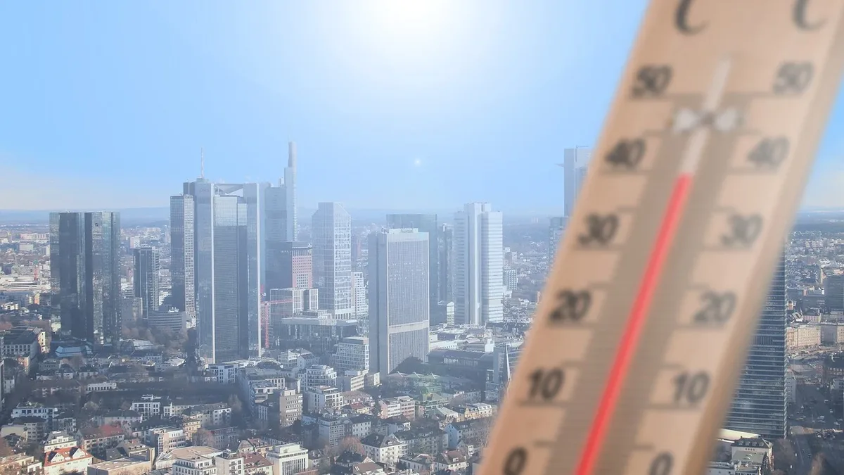
Sydney has sweltered through temperatures reaching 33C, a reading more typical of midsummer. The heat, up to 13 degrees Celsius above the seasonal average, potentially marks the warmest start to spring since the city's Observatory Hill weather station opened in 1858.
According to meteorologist Tom Saunders, a gusty north-westerly airstream from Australia's northern interior is responsible for the extreme temperatures. He told ABC News that for Sydney, this is likely the hottest day this early in spring on record. Saunders stated that for the first five days of September, the city is on track to average a maximum of 27 degrees, matching its typical midsummer average.
Fire Danger Spikes
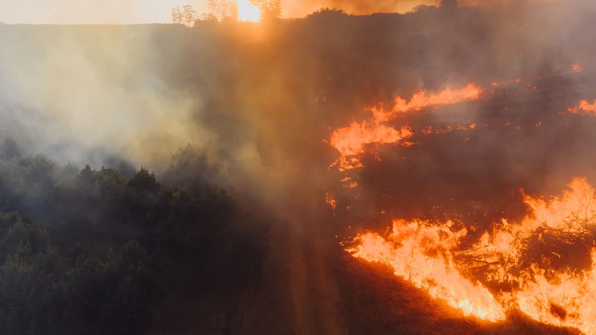
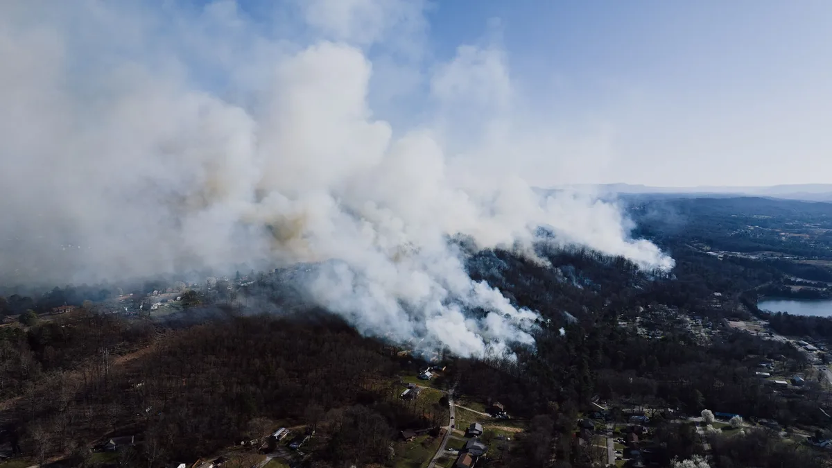
The warm, dry, and windy conditions have caused fire dangers to spike dramatically. A total fire ban is in place for the greater Sydney region, where extreme fire danger is forecast. Australia's national council for fire and emergency services predicts a heightened fire risk across multiple states, including northern and south-eastern New South Wales and south-east Queensland.
A Continent of Contrasts
The dramatic weather extends across much of the continent, creating stark contrasts. In southern New South Wales, snow was forecast for Thredbo in the Snowy Mountains, with a daytime low of -1C. However, Weatherzone journalist Anthony Sharwood noted the new snow would do little to help, writing that "the Australian snowpack is at a historic low for the first week of September."
Meanwhile, other regions face different extremes. Southern Queensland is experiencing unseasonably warm temperatures in the mid-30s. South Australia's Mount Lofty and Flinders ranges could see damaging wind gusts of up to 110km/h. Heavy rains of up to 60mm are forecast for north-east Victoria and northern Tasmania, raising renewed flood concerns in already saturated catchments.
El Niño Context
This volatile start to spring occurs against the backdrop of a strengthening El Niño weather phenomenon in the Pacific. The UN's weather agency warns this event could persist until early 2027 and has the "potential to deliver a massive blow to communities and economies across the world." El Niño events typically bring hotter, drier conditions to eastern and southern Australia in winter and spring, increasing the risk of heatwaves, drought, and bushfires. Meteorologist Tom Saunders added that temperatures this spring could average as much as three degrees above the baseline from recent decades, potentially making it the hottest spring on record.