Climate Change Makes Record El Niño Six Times More Likely
Australia's Bureau of Meteorology forecasts the current El Niño will be the strongest on record, while new research attributes its extreme intensity to

The El Niño weather phenomenon developing in the Pacific is forecast to become the strongest since reliable records began in 1950. Australia's Bureau of Meteorology (BoM) states the event is already breaking heat records and is expected to peak in late spring or summer.
According to the United Nations' weather agency, the strengthening El Niño will likely persist until early 2027 and has the potential to deliver a massive blow to communities and economies globally. UN Secretary-General António Guterres warned the planet is in uncharted waters, stating, "El Niño is being supersized before our eyes."
Record-Breaking Intensity and Speed
El Niño strength is measured by analyzing sea surface temperatures in the equatorial Pacific region known as Niño 3.4. Felicity Gamble, a senior climatologist at the BoM, said the rate of warming observed in the last two months has been faster than any other event on record.
Gamble reported that relative sea surface temperatures in the Niño 3.4 region for August were likely between 2.2C and 2.3C above average, which is higher than any previous August since 1950. Forecasts suggest temperatures in that region could peak at over 3C above average. This would surpass the previous highest recorded figure of 2.6C observed in January 1983.
The climatologist also noted that sea surface temperatures in the Niño 3.4 region warmed by more than 2C between February and July this year. "No other period in the historical record exceeds that," Gamble said.
The Climate Change Link
Preliminary research from scientists at the University of Melbourne directly links the event's extremity to human-induced climate change. By analyzing historical records and comparing climate models, the researchers found climate change has made an event of this magnitude six times more likely.
Dr. Andrew King, a co-author of the research, said the findings point to a likely climate change role in the chance of having these extreme El Niño conditions. "It seems likely there is a human fingerprint emerging in this event," King stated. The study has been submitted for peer review but uses a methodology common to many other published studies.
Regional Impacts and Forecast
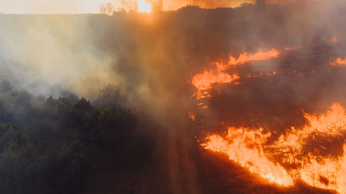
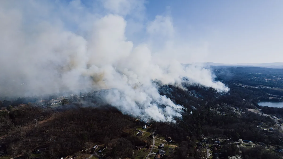
El Niño events typically bring hotter and drier conditions to southern and eastern Australia in winter and spring, increasing the risk of heatwaves, drought, and bushfires. This winter was Australia's third-warmest on record and the hottest on record for the states of New South Wales, Tasmania, and Victoria.
In the broader Pacific region, Gamble said El Niño is already contributing to droughts in Papua New Guinea, with associated food and water shortages, and to major wildfires in Indonesia.
The bureau's long-range forecast for September to November indicates an increased chance of below-average rainfall for Australia's south and east, but above-average rainfall for most of the continent's western half. Temperatures are also likely to be above average south of the tropics.
Climate experts warn that this El Niño will likely combine with background climate change to push global temperatures to record highs next year. Dr. King concluded the situation is alarming, noting, "We are seeing something that does not appear to have happened before."